
One of the many wonderful things about these hikes around the Bay Area is the chance to get an education each time out on some obscure topic. One time, I learned about the tule elk and their propensity for the bluffs of Point Reyes. (See ’em before they disappear.) This past weekend, I found out that a third of the mercury produced in the U.S. used to be mined on a hill overlooking Calistoga. If that isn’t an obscure fact, nothing is.
Welcome to Oat Hill Mine, which not too long ago was a hotbed for quicksilver mining, also known as mercury. Not that I thought oats were being mined there, but I would have been open to any explanation. In any case, the mine was active from about 1872 until the late 1960s, and during that time, a road came into being to connect the mines up in the hills with the town of Calistoga. This info comes from the Napa County Regional Park & Open Space District, which now maintains the Oat Hill Mine Trail. Which is where I found myself on a gorgeous wine-country-esque day last weekend.
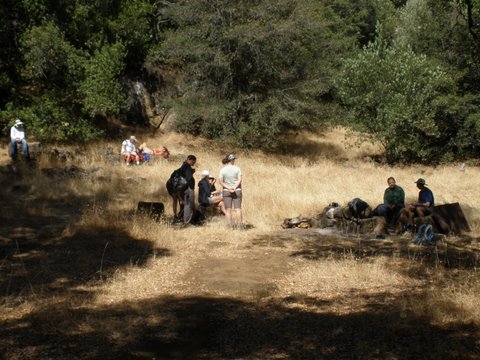
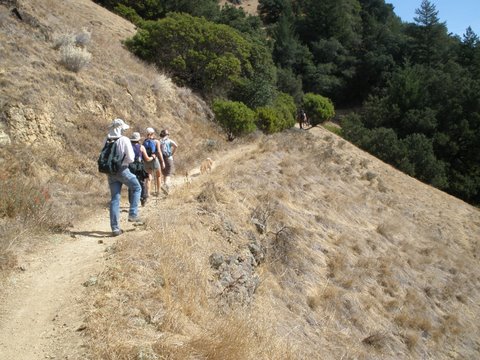
The trailhead is hard to find – it starts at the intersection of Lincoln Avenue and the Old Silverado Trail, just outside the town of Calistoga. I had done this once before with some friends, and on that occasion, we trekked more than 8 miles to Aetna Springs Road in Pope Valley, and then returned, making an arduous 16-plus mile jaunt. About my limit for a day hike, but like every other estimate about my limitations I usually make, I’m probably wrong. This time, our plan was to head about halfway in to a clearing known as the Holms Place. Named, of course, for Karl Gustav Holm who lived there in his log cabin about 100 years ago. But surely you knew that.
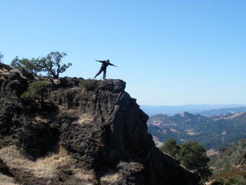
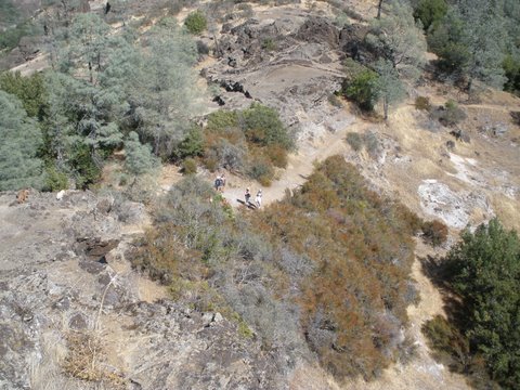
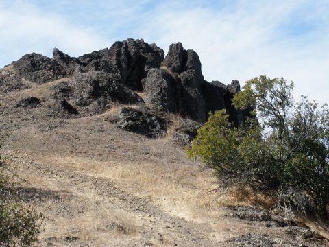
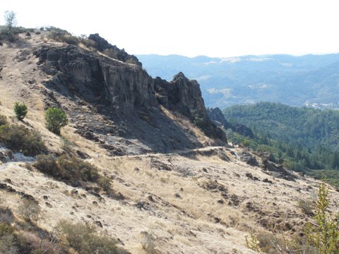
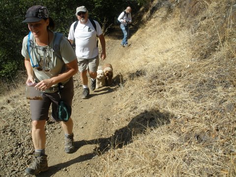
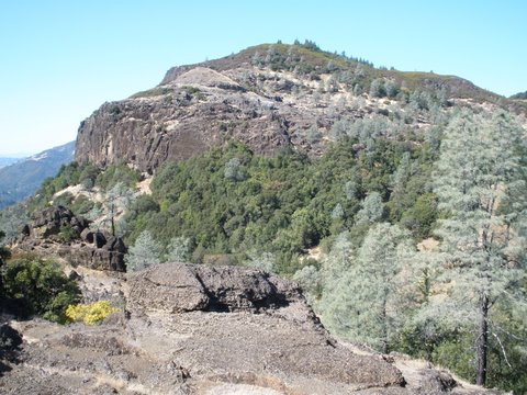
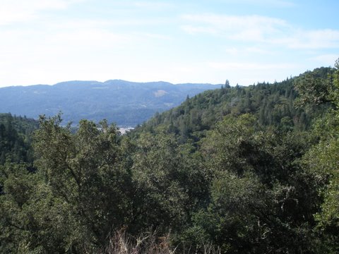
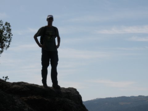
On this time, I took special notice of the ruts from the wagon wheels that were deep in the rocks. I could picture several wagons teetering and plummeting off the road as they headed up since the road is basically a trail in most points. The rock formations throughout the mine area are fantastic with most dating back to when they were formed by volcanic activity. There are plenty of little crevices and odd-shaped rocks to be climbed, and after a good lunch break (one of these days, I’m doing a blog entry all about hiking food and the unusual variety that always surfaces….), our group headed for a detour to climb up some rocks and get a view of the vista heading to the east, the opposite to the view on most of the mine. We may have ventured briefly onto private property (the metal gate and ‘Keep Out’ sign were hints?) but the foray was quick and the views were well worth it. The trail is a good jumping-off point for a lot more hiking, whether connnecting to the Palisades and heading into Robert Louis Stevenson State Park or over to Pope Valley. I’ve yet to get into the Palisades much but I hope to soon so this was a good taste of what’s to come.
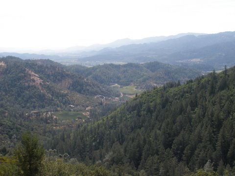
Descending down four miles of rocky trail isn’t as much fun as it sounds so, as usual, the way down was much quicker than the way up. Total hiking distance worked out to about nine miles, nicely spaced over about 6 hours. After that hike, with the views of the vineyards of Calistoga and a bit of St. Helena too as well as the sounds from the Rock of Ages Festival happening over in Calistoga occasionally reaching up in the hills, a few of us headed to a nearby home of one of the hikers who just happened to have a winemaking operation in his garage and several bottles of very agreeable cabernet to be shared. It’s rough in wine country, indeed.


 , New York native, I spent half of my life hibernating indoors, but for the past five years I have basked in the thrilling opportunity to enjoy year round hiking on the many trails of beautiful Northern California. In this blog I will continue in the tradition of trailhead, to recap the hikes I have taken and share the insights of my fellow hikers. Along with day hikes, I am also interested in dog friendly trails, and backpacking trips as well. Please feel free to offer suggestions of where I should hike next, or share tales of where you have explored. . Guest blog entries are extremely welcome as are your photos from your own hikes.