
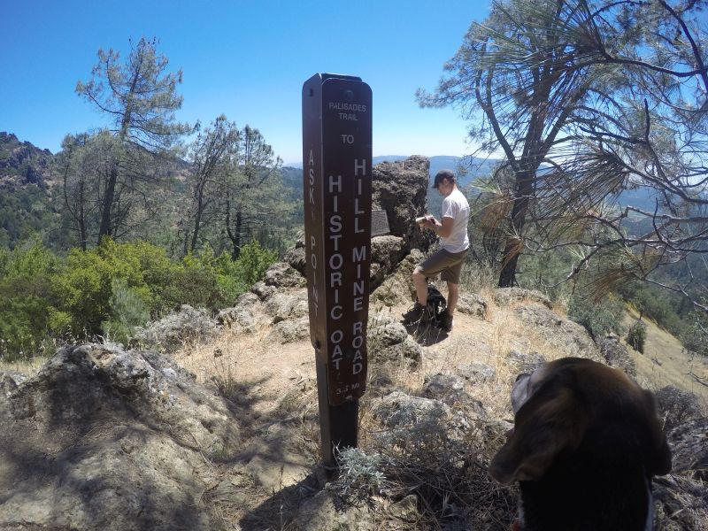
Intersection of Pallisades and Oat Hill Mine Trail
Looking for a good day hike after Christmas to work off those extra calories? Waddle on over to Napa County for a picturesque intermediate level adventure on the Oat Hill Mine Trail. The 8 to 10 mile trip will take your whole day, so get there early to make sure you have enough time. And yes, it is dog friendly so pack up the whole family and the pooch and hit the the trail.
The Oat Hill Mike Trail is actually 2 Trails. The Oat Hill Mine portion, managed by Napa County Regional Parks and the Palisades Trail in Robert Lewis Stevenson Park. Both take in sweeping views of Napa Valley as they traverse striking volcanic formations, and cut through a diverse mixture of Oak, Douglas Fir, Gray Pine and Cypress forests, chaparral, and grasslands.
To experience the full breadth of the trails, take two cars and park one near the Calistoga Trailhead and drive your other car up to the upper parking lots, either at the Palisades Trailhead (for a 10 mile one way hike) or Aetna Springs Trailhead ( for the 8 mile option). Hiking the trails downhill in this direction is easier, but still great exercise. If you don’t have the luxury of taking 2 vehicles, park at any of the three parking lots and backtrack along the same path.
We chose the Palisades parking lot for our starting point, since portions of the Upper Oat Hill Mine Trail were closed when we hiked. The trail was gorgeous in late fall, with flowers still blooming before winter rains began to fall.
As you begin the hike you will cross a circular stone labyrinth. Continuing down the trail to a the Holms Place fluctuates from shady to exposed, so wear sunscreen and bring lots of water, as you will find none along the way.
At the intersection of the Palisades trail and the Oat Hill path, you will find the foundation of the Karl Gustov Holm homestead, who built his first log cabin on a 160 acre property in 1893. Part of a barn wall and a few old fruit trees are all that remains today.
What about the mine you may ask? Unfortunately, no remains of a mine structure can be seen on the trail, but you may see a few remaining ruts of old wagon wheels carved into the volcanic rock faces. The Oat Hill Mine was an old quicksilver (mercury mine), which produced one third of the total U.S. production of mercury from its discovery in 1872 until the late 1960s. The trail that you will hike down was completed in 1893 to provide transportation between Calistoga and the mines.
From Holms place, the rest of the trail down is a rocky so hiking boots over sneakers are recommended. Since the portions of the trails cross private land please be respectful and keep dogs on leash. Check out my video to see what the trail looks like.
Trailhead- Oathill Mine Trail from Janet Balicki on Vimeo.
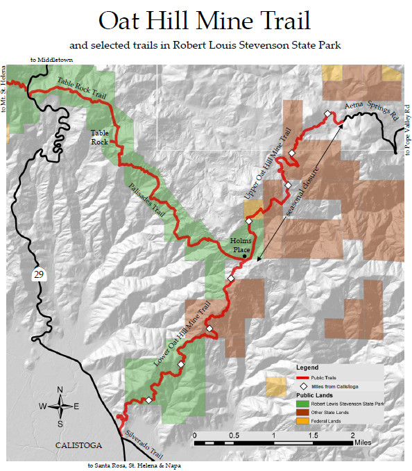
Trail Map

Heading back down the lower portion of the Oat Hill Mine Trail.

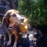
Sylvester stops for a break on the Oat Hill Mine Trail.
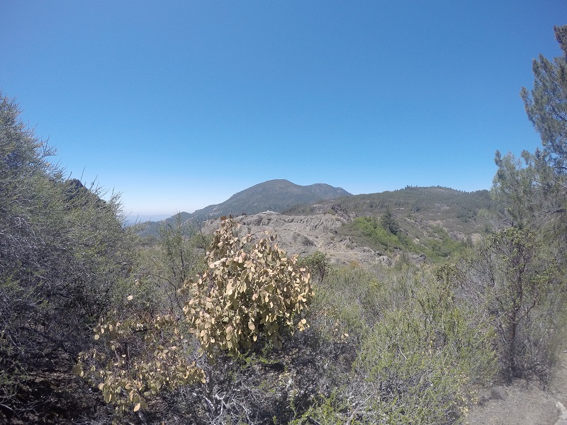
View from Oat Hill Mine Trail.

Sylvester poses for the camera, on the Oat Hill Mine Trail.
 , New York native, I spent half of my life hibernating indoors, but for the past five years I have basked in the thrilling opportunity to enjoy year round hiking on the many trails of beautiful Northern California. In this blog I will continue in the tradition of trailhead, to recap the hikes I have taken and share the insights of my fellow hikers. Along with day hikes, I am also interested in dog friendly trails, and backpacking trips as well. Please feel free to offer suggestions of where I should hike next, or share tales of where you have explored. . Guest blog entries are extremely welcome as are your photos from your own hikes.