
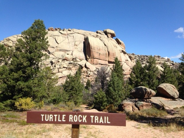
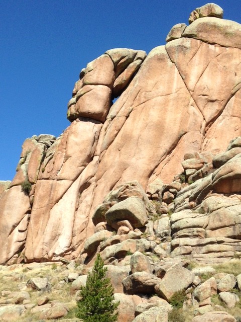
One of the cooler rock formations I’ve encountered came on a recent trip to Laramie, Wyoming, and the surrounding countryside. Tucked into the 2.2-million acre Medicine Bow National Forest is the Turtle Rock Trail. The 3-plus mile loop completely encircles a cluster of large granite rock shapes. According to geology websites, the rocks are from the 1.4-billion-year-old (yes, billion) Sherman Granite that is underneath Wyoming. Seismic activity much more recently (100 million years ago?) formed the modern mountain ranges that now fill that part of the state.
It’s an easy hike and you can duck into and out of the rock crevices at different points. If you’re bold, it’s possible to climb up the rocks themselves a bit.
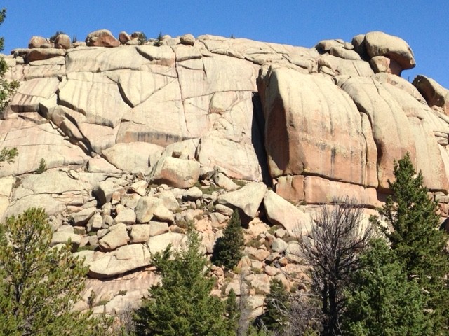
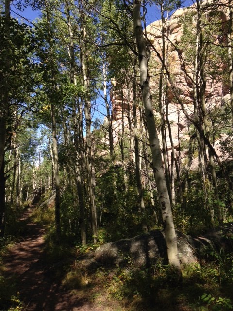
While the hike isn’t long or strenuous, the views change completely as you go around. That’s to be expected when you’re more than 8,000 feet above sea level. All in all, a gorgeous walk.
(The final picture below is of a scenic spot across I-80 from Turtle Rock – the Ames Monument. It marks what was the highest spot on the Union Pacific Railroad (8,247 feet) and is named for two brothers from Massachusetts who were instrumental in the railroad’s expansion.)
 , New York native, I spent half of my life hibernating indoors, but for the past five years I have basked in the thrilling opportunity to enjoy year round hiking on the many trails of beautiful Northern California. In this blog I will continue in the tradition of trailhead, to recap the hikes I have taken and share the insights of my fellow hikers. Along with day hikes, I am also interested in dog friendly trails, and backpacking trips as well. Please feel free to offer suggestions of where I should hike next, or share tales of where you have explored. . Guest blog entries are extremely welcome as are your photos from your own hikes.