
A wide open grassland, Prarie Trail at Salt Point. (Janet Balicki/ The Press Democrat)
Dramatic coastal views, crisp ocean air, mushroom dotted forest floors, windy sweep prairies and pygmy forests. Salt Point State Park has a lot to offer in its 6,000 acres, including 20 miles of hiking trails, 6 miles of coastline and an underwater park.
Powerline Trail
We spent the day exploring the woody inland portion of the park surrounding Woodside campground, where late season mushroom hunters are still digging up delicacies to take home for an earthy winter meal. This time of year, the lush bishop pine, Douglas fir, madrone, tanoak and second growth redwood forest is a delight to explore, especially on chilly days when the oceanside trails can be much colder and windy. We decided on the 4.5-mile Prairie loop surrounding Woodside campground.
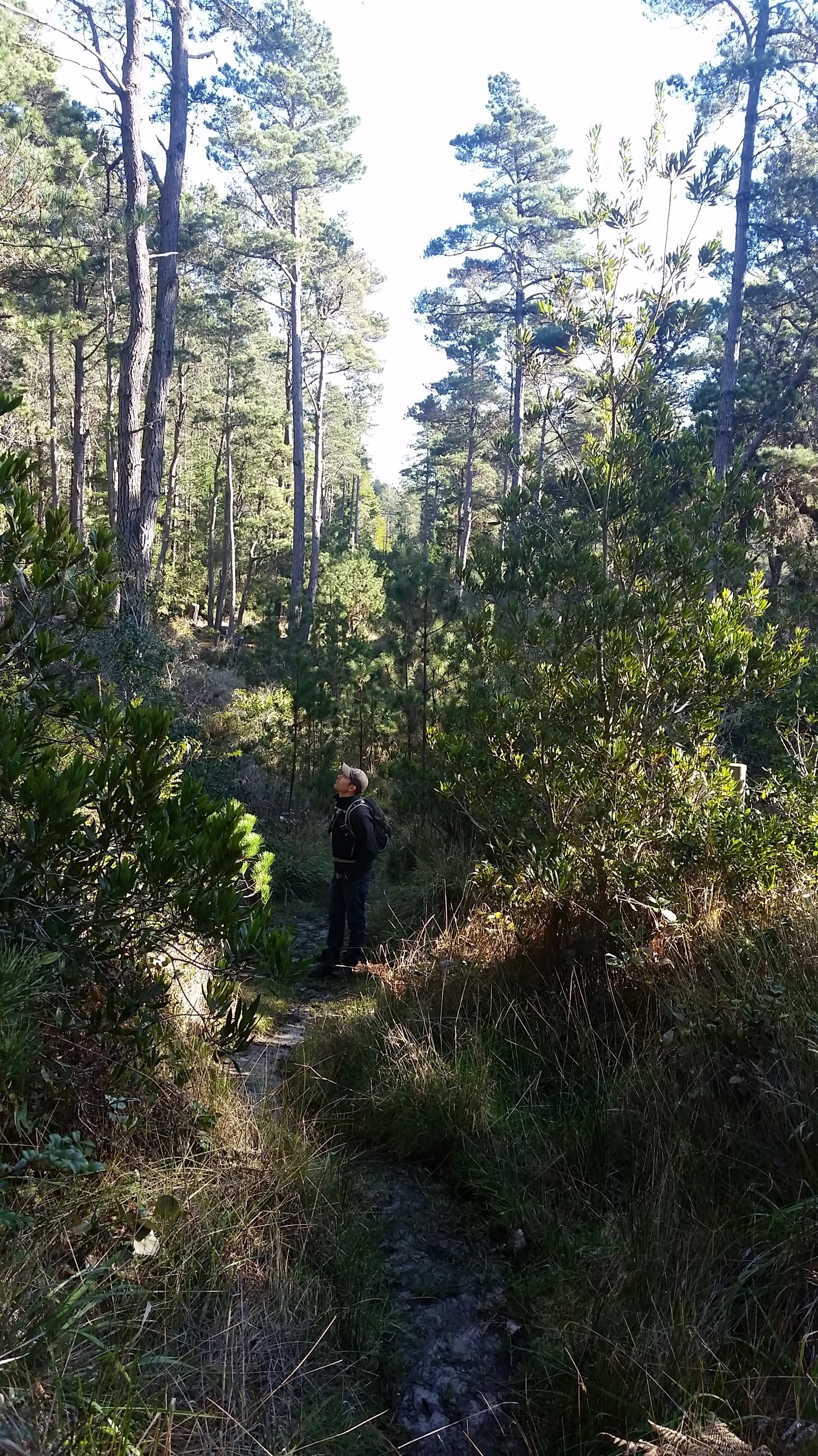
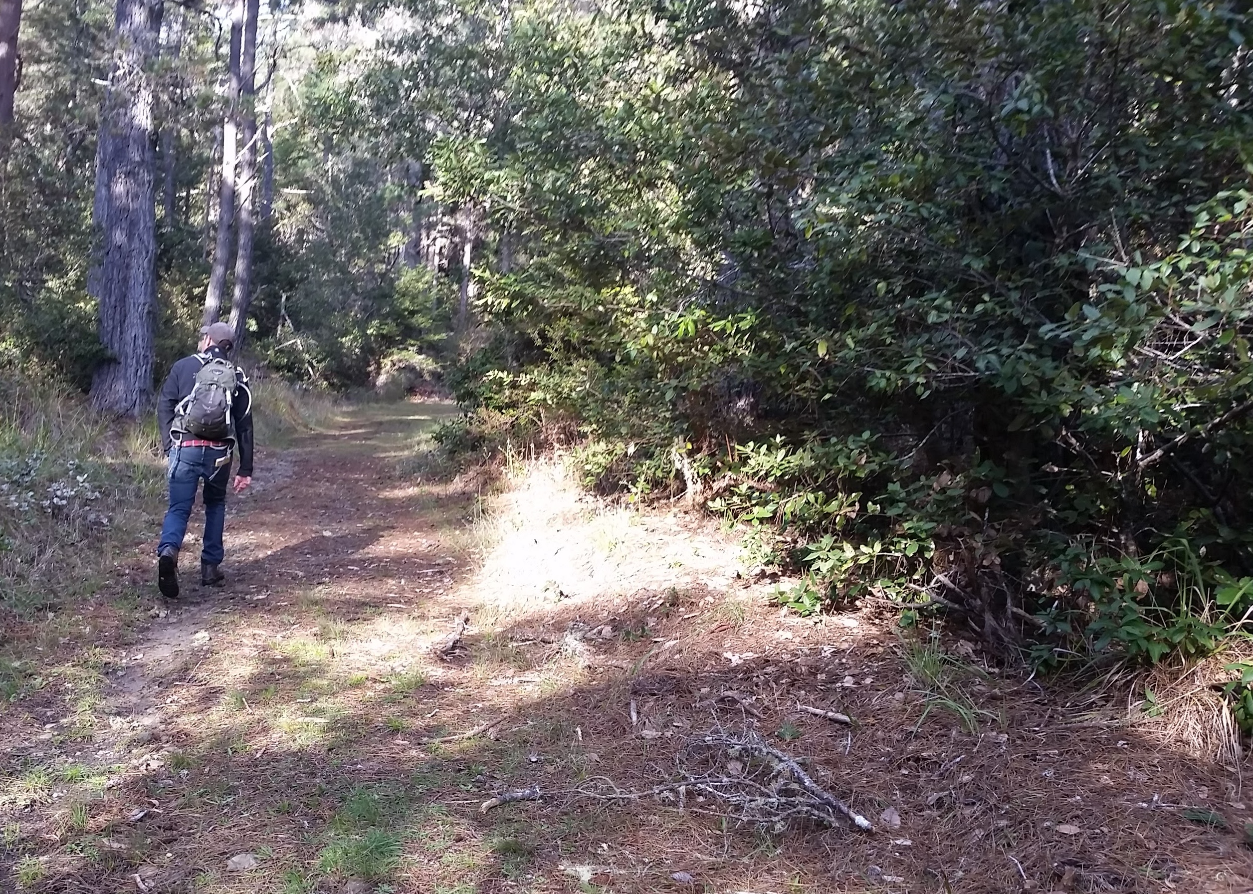
Starting on paved road at the edge of the park, search for a small, low-to-the-ground arrow that points to the Powerline trail. The trail is narrow and muddy this time of year and crosses the camping area. You will know you are on it because… you guessed it, you will be beneath a power line.
This is a true hiker’s trail with flora and fauna brushing up against your pants. Trees are close enough to touch, but it is short. After 0.5 miles, you will make a left turn onto the South Trail, which is broad and manicured. Alongside decaying branches and fallen pine needles, you may find a few edible mushrooms. Candy caps and black chanterelles are still springing up, but most of the fungi you will find is either inedible or not worth eating. It is best to go out with an expert mycologist to avoid picking up anything poisonous. The Sonoma County Mycological Society leads several outings throughout the year at Salt Point.
The South Trail takes you up a mild hill past sandstone that was used in the construction of San Francisco’s streets and buildings during the mid 1800s. If you are a bit out of shape, you may have to stop for a few breaths along the way.
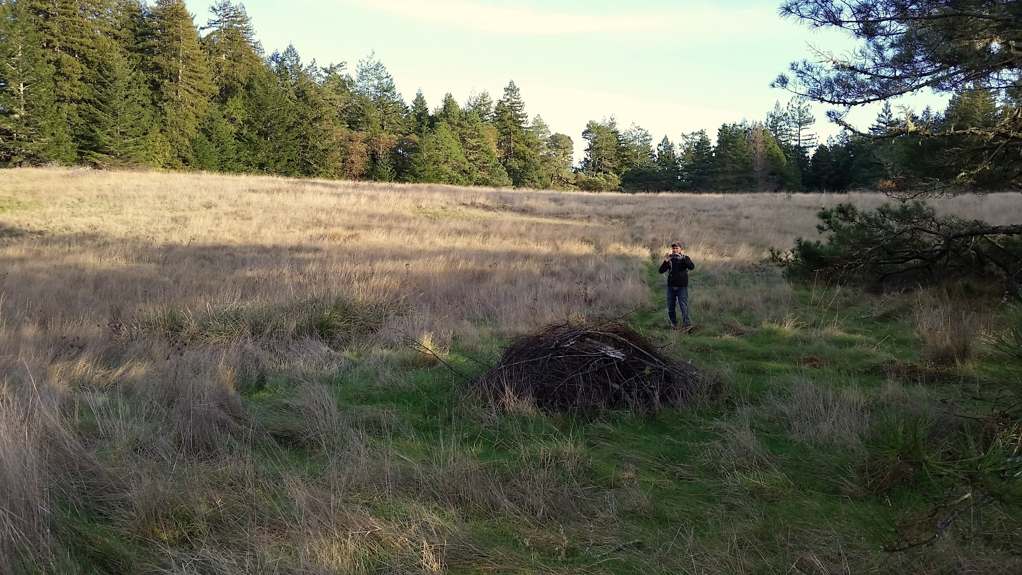
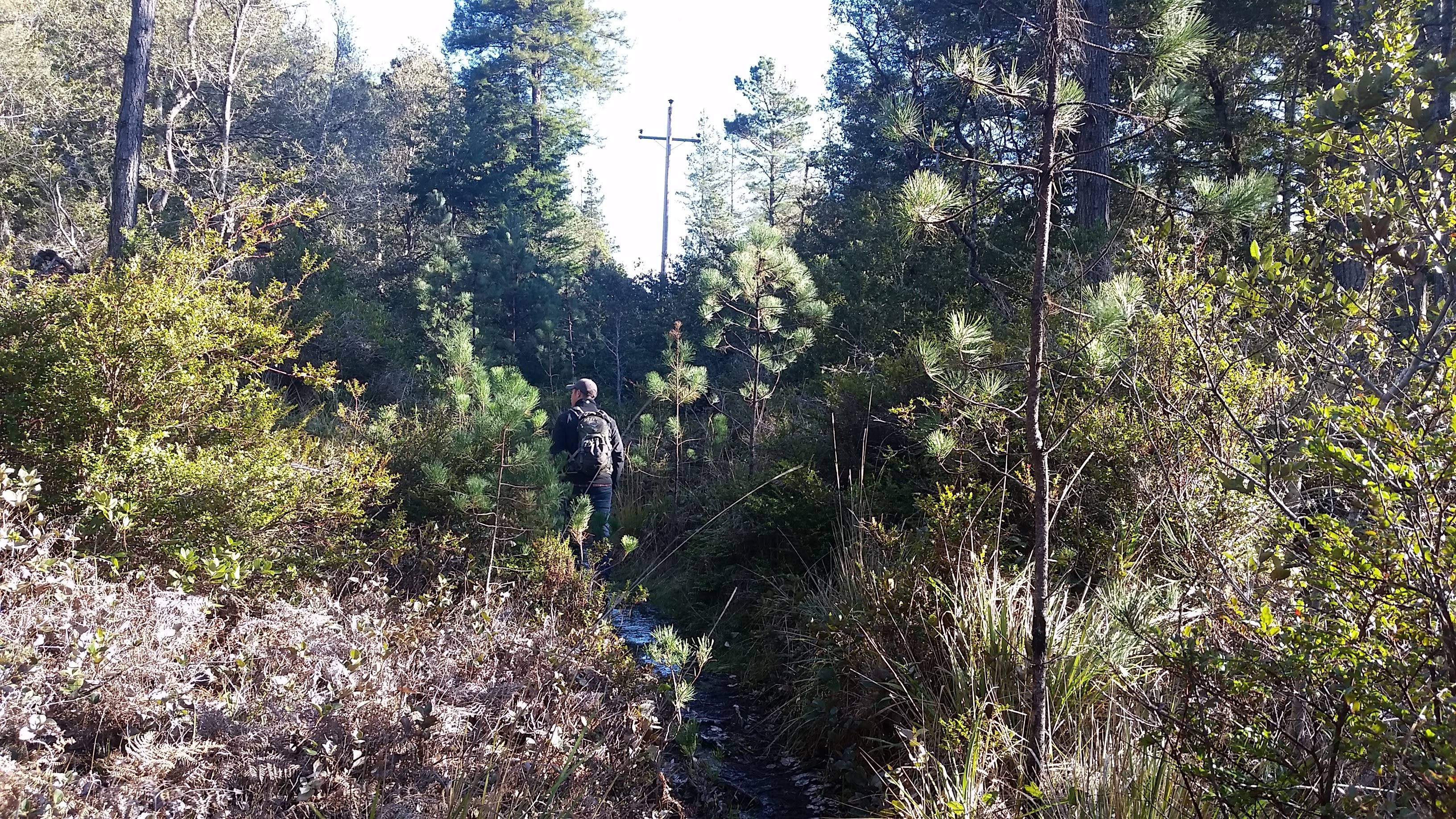
Where the South trail becomes the Central Trail, the path opens up to a golden prairie. At this intersection, the trail is currently very muddy. Steer clear of it by traversing a small path along the edge, and enjoy the gorgeous rolling grassland. You will notice that it is significantly colder here on overcast days without the tall trees to break the coastal winds. If you pause here for a snack, a few animals may peek their heads above the tall grasses. Black-tailed deer, raccoons, coyotes, bobcats, gray foxes, badgers, striped skunks, porcupines  and a variety of rodents can be found in the park. Bears and mountain lions have been known to visit, though infrequently. Just northwest of the prairie, you will notice a trail marker for the North Trail, which intersects a Pygmy Forest. If you have a few extra minutes, it is worth a visit. A combination of nutrient poor acidic soils and a hard pan layer just below the surface prevent the cypress, pine and redwood here from achieving normal heights. These unique stunted forests can be found scattered along the Pacific coast from Monterey County to Mendocino County. They are unique and will add an additional layer of interest to your hike. After hiking this 1.0 mile spur, I recommend that you rejoin the Central Trail by taking a turn down the Water Tank Trail. After this point, the central route becomes a great educational nature hike. Signs mark the various types of ferns and trees you have enjoyed throughout the hike.
When you are done, put on a few layers, hop in your car and head north for a quick stop at Gerstle Cove. You won’t want to miss the opportunity to take in the smell of the sea as you catch a quick glimpse of the pounding surf and possibly a few migrating gray whales heading north from their breeding grounds in Baja.
–Janet Balicki
————-
SALT POINT STATE PARK
The Prairie
Central Trail –
South Trail Loop
Hiking distance: 4-mile loop
Hiking time: 2 hours
Configuration: loop
Elevation gain: 600 feet
Difficulty: moderate
Exposure: mix of shaded forest and grassland meadow
Dogs: not allowed
Maps: U.S.G.S. Plantation • Salt Point State Park map
The Powerline Trail, is appropriately named. Salt Point State Park Prarie Loop Hike. (Janet Balicki/ The Press Democrat)

Crossing Wildcat creek on the Powerline Trail at Salt Point State Park. (Janet Balicki/ The Press Democrat)
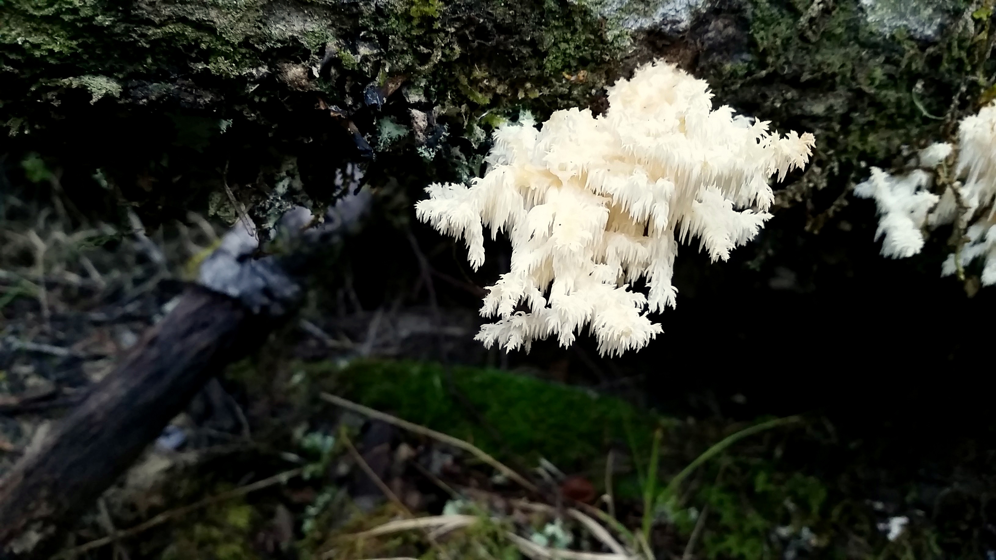
Lion’s mane mushroom growing on a decaying log at Salt Point State Park. (Janet Balicki/ The Press Democrat)
South Trail on the Prairie Loop hike, Salt Point State Park. (Janet Balicki/ The Press Democrat)

The South Trail gets a little messy where it hits the Prarie. (Janet Balicki/ The Press Democrat)
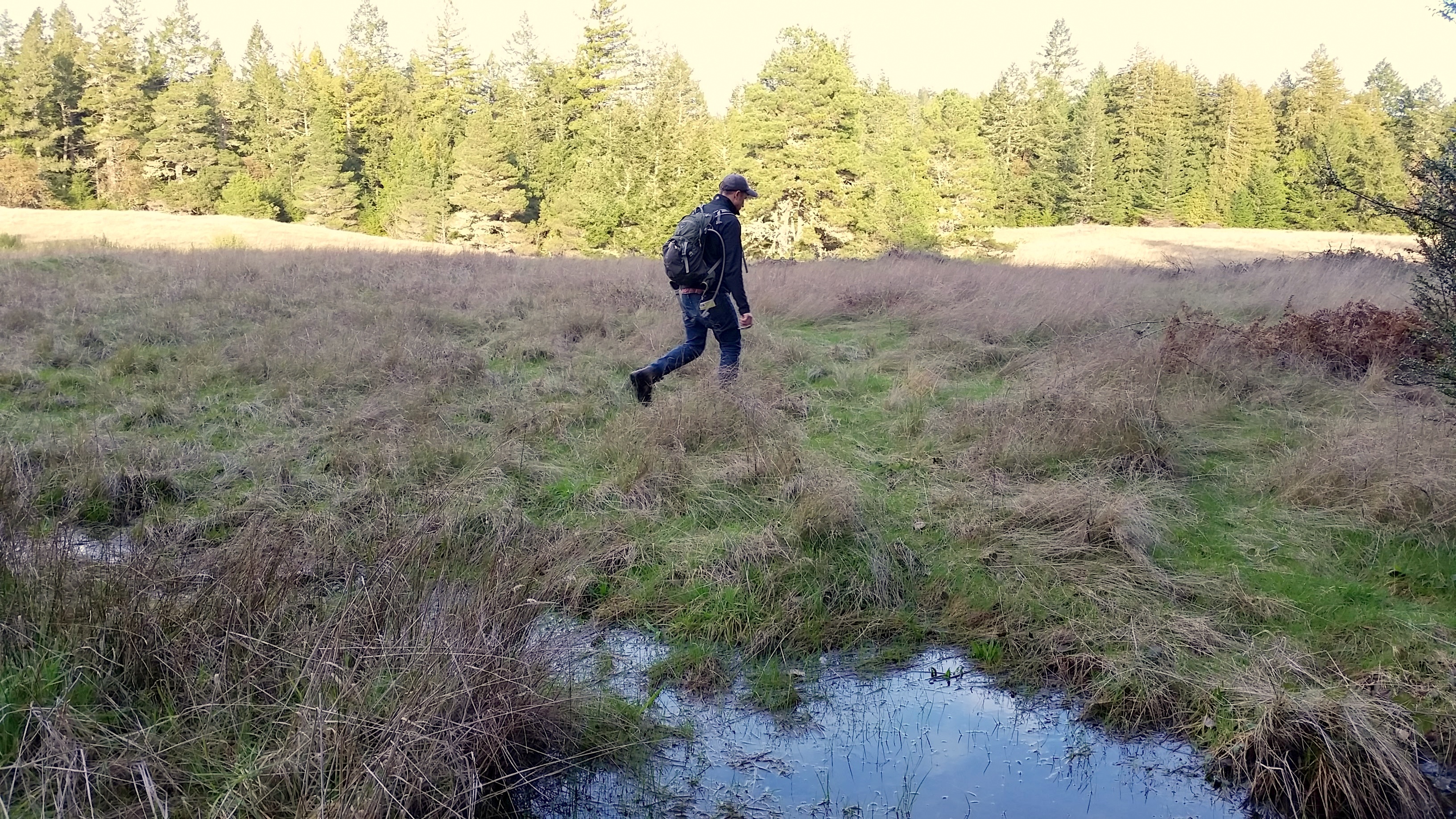
Crossing the Prarie at Salt Point State Park. (Janet Balicki/ The Press Democrat)
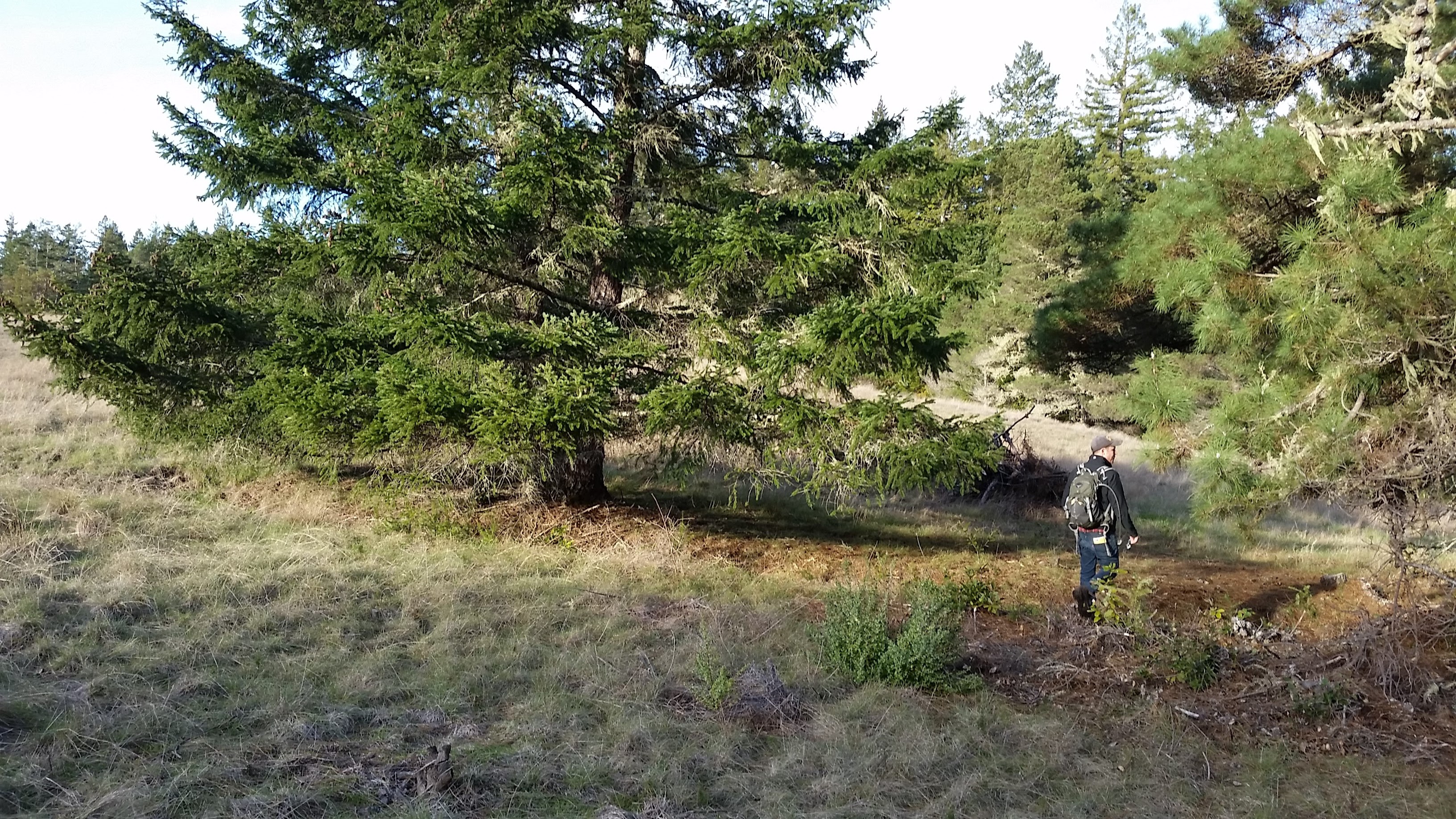
The edges of The Prarie at Salt Point State Park. (Janet Balicki/ The Press Democrat)
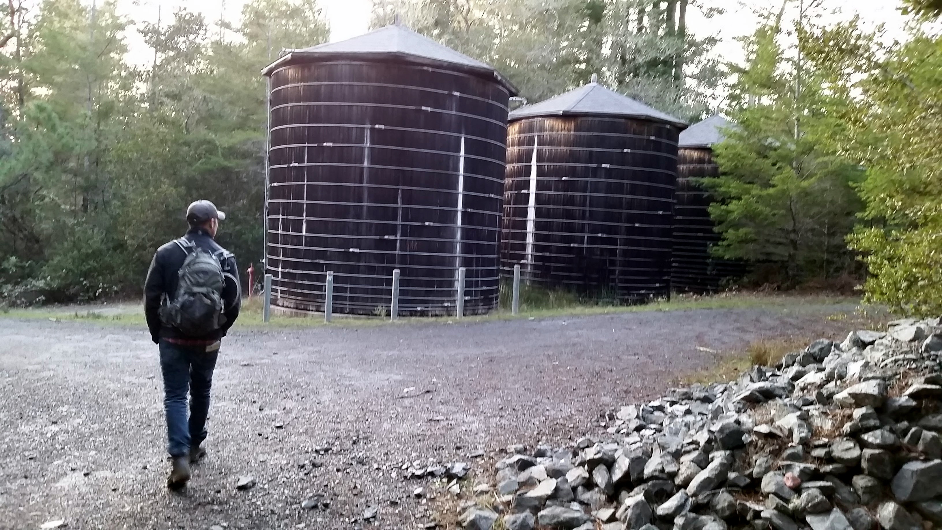
Water Tower marks the transition from the North trail back to the Central Trail. (Janet Balicki/ The Press Democrat)
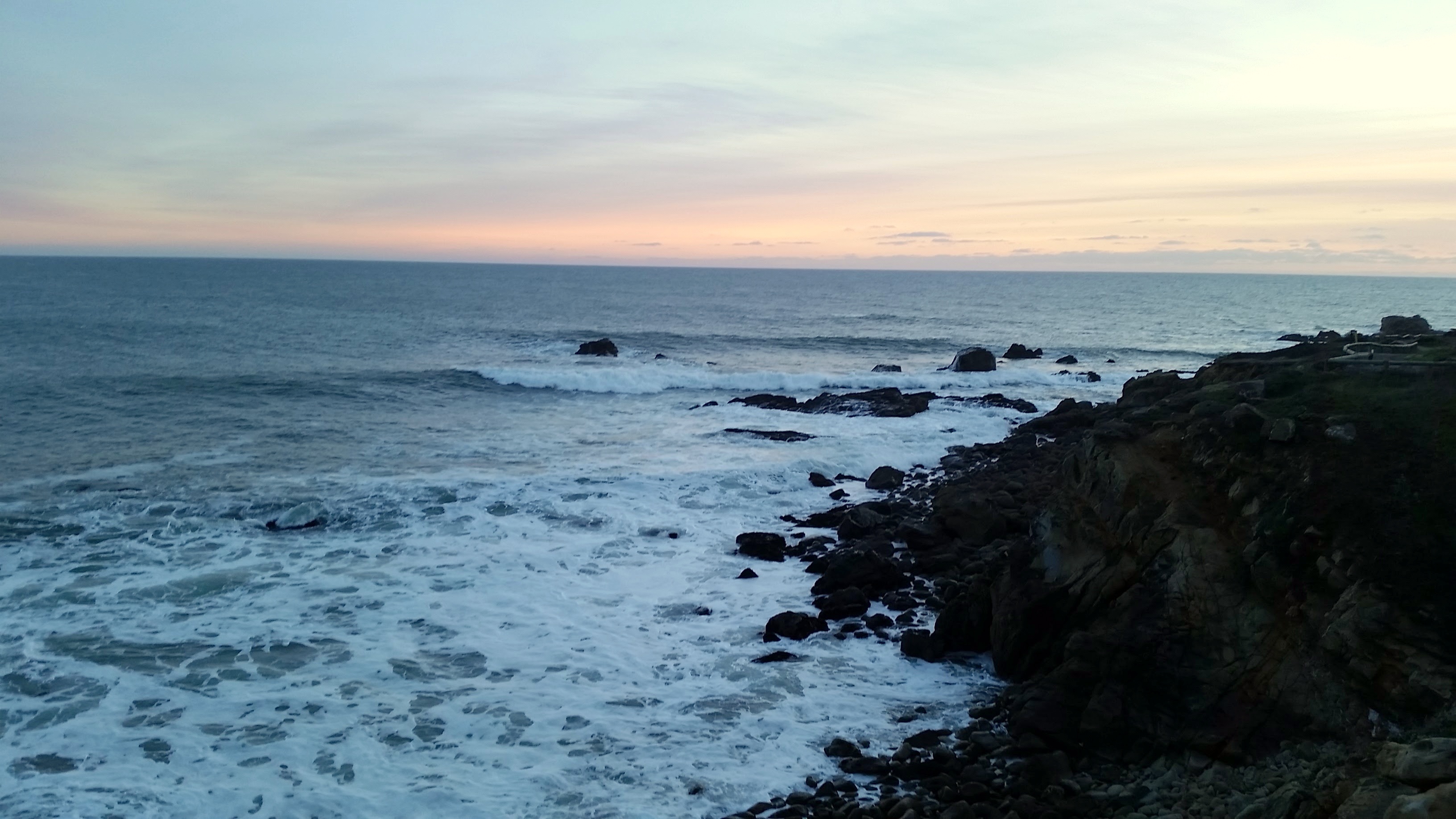
Be sure to stop by Gerstle Cove on your way back. You won’t want to miss the views. (Janet Balicki/ The Press Democrat)
 , New York native, I spent half of my life hibernating indoors, but for the past five years I have basked in the thrilling opportunity to enjoy year round hiking on the many trails of beautiful Northern California. In this blog I will continue in the tradition of trailhead, to recap the hikes I have taken and share the insights of my fellow hikers. Along with day hikes, I am also interested in dog friendly trails, and backpacking trips as well. Please feel free to offer suggestions of where I should hike next, or share tales of where you have explored. . Guest blog entries are extremely welcome as are your photos from your own hikes.