
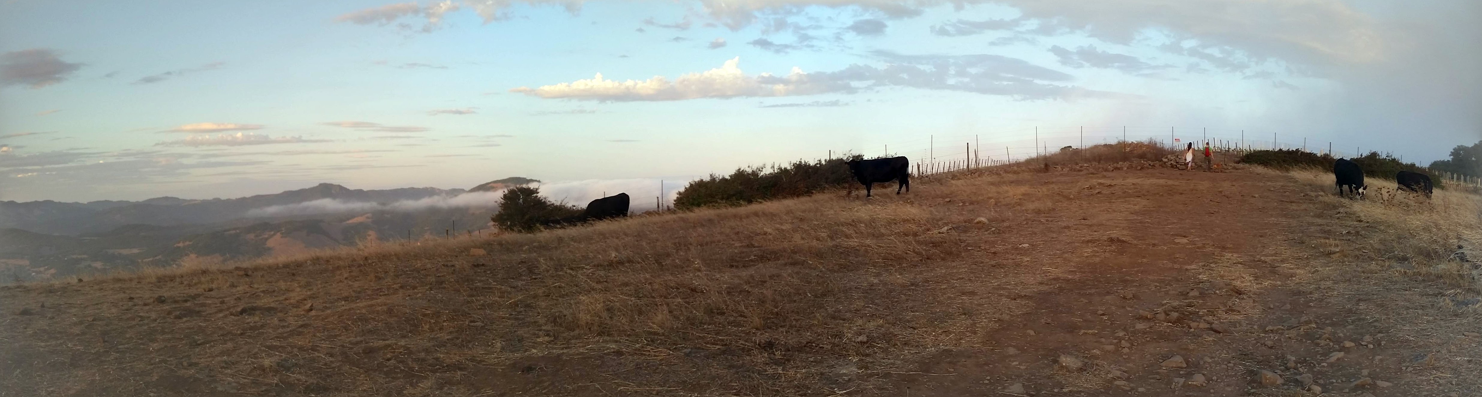
Cows grazing at the summit of Taylor Mountain, CLICK ON ME TO SEE THE PANORAMIC.
In honor of the Sonoma County Regional Parks, “Trails for Taylor Campaign”, Trailhead decided to hit Taylor Mountain this week. The 1,100-acre park includes 5 miles of trails with some of the most strenuous hikes featured in this year’s Trails Challenge . Currently, the park/ open space preserve, has 5 miles of trails available for hiking, including a a climb to the summit of Taylor Mountain. The fundraising drive hopes to expand this to 15 miles. Contributions can be made at http://sonomacountyparksfoundation.org/trails-for-taylor/ . Each $10 donation, earns you and entry into a drawing for a tent and two sleeping bags donated by Marmot.
Having only few hours before sunset to accomplish the hike. We decided to tackle option 1 in the Trails Challenge guidebook.
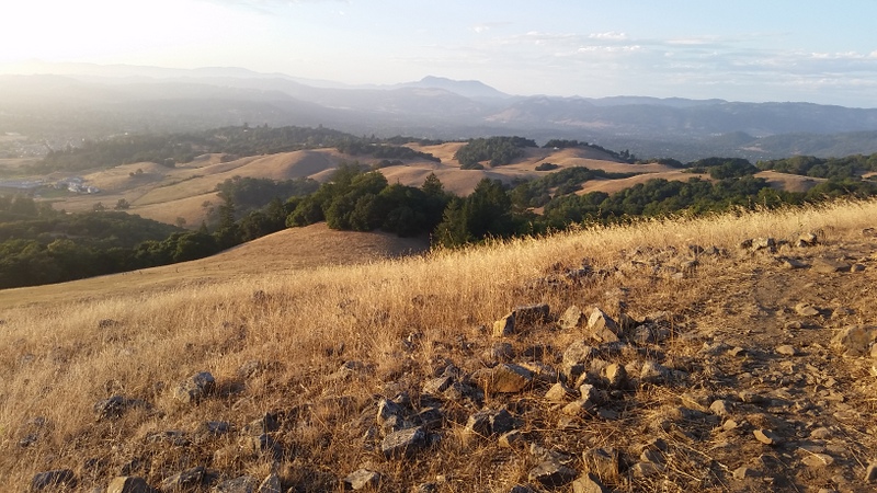
Option 1 starts, from the Kawana Terrace entrance, and starts out along Todd Creek Trail. At about .7 miles it hits the Western Route, which features great views Santa Rosa. Where the trail hits the Eastern Route, you will ascend up a .5 mile path to the peak, where you can see Santa Rosa and the Coastal Range to the west, Rincon Valley to the northeast, and Bennett Valley to the southeast. Take the Eastern Route down to your car to complete the hike. This option will take few paces off of your hike if you are running out of sunlight, but beware the trail is steep. Next time I visit Taylor, I would hike this loop in reverse, enjoying a nice climb up the Eastern Route and a gradual descent down the Western. Many happy-hour runners, were making there way down the trail in this direction as Sylvester and I were climbing up.
Option 2, takes in all of option 1, but adds in the Redtail loop, which begins and ends on the Western Route. This portion of the park was constructed with the help of financing from last year’s Trails for Taylor Campaign. Take a detour down this path to see what your donations can help to accomplish.
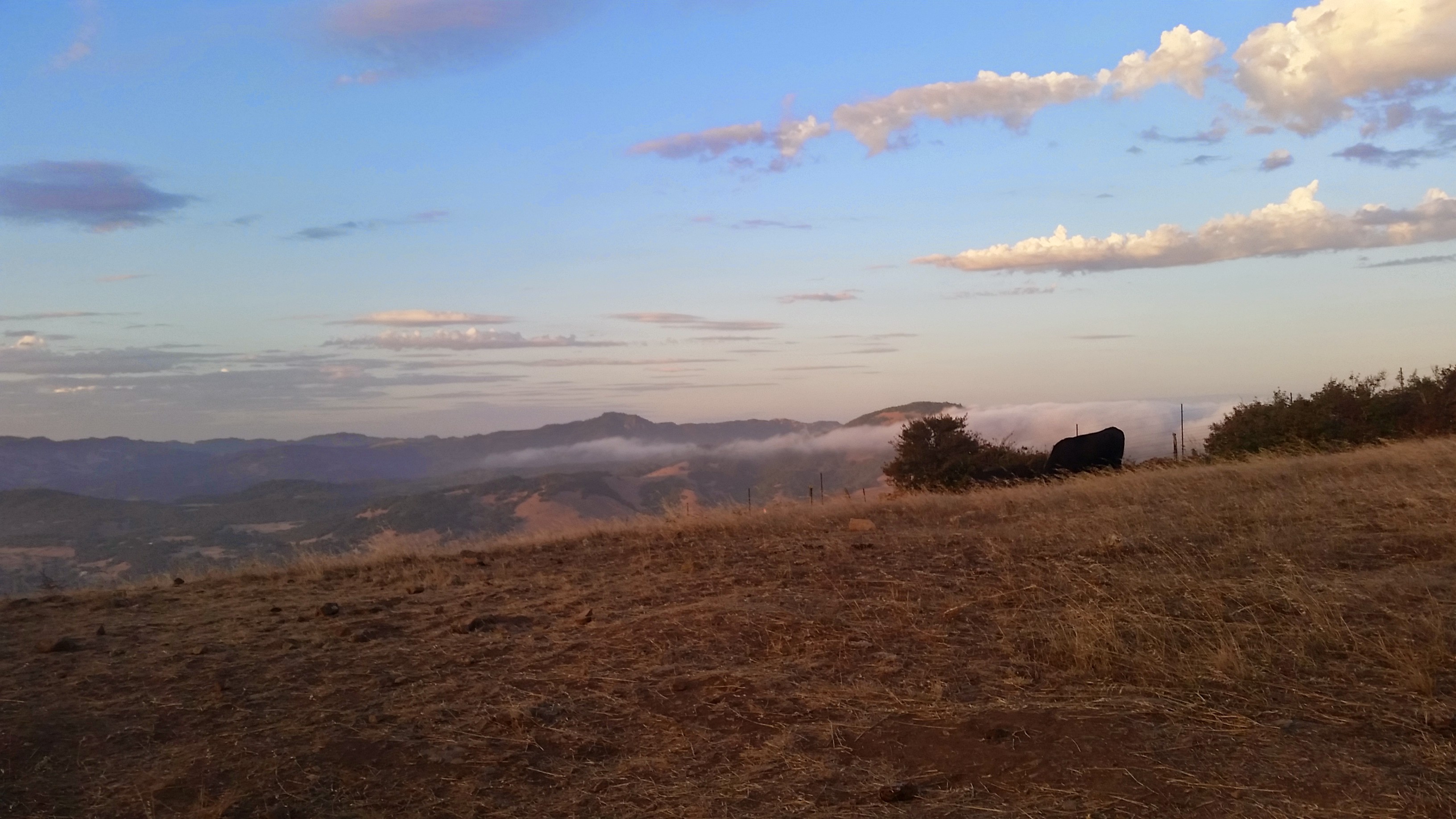
As with all Regional Parks, the trails are pristine. A few trail markers along the way did not have trail names printed on them, so some helpful hikers jotted down the details, but the park is pretty open, and it would be hard to truly get lost, when other trails are nearby. The trails guide promises the possibility of cattle crossing your path. Toward the end of our hike I thought I may only see the piles that cows leave behind, however, at the very summit, we found a handful of black cows grazing near the remains of a historic rock wall. Sylvester’s beagle alarm went off, so we only stopped for a moment, before jogging back down the hill.
Overall, it was a great intermediate to advanced hike, taking some of the best landscapes I have seen in the Regional Parks I have visited. —Definitely a new favorite! Watch a video I made of the hike to get a feel for the trail.

Sylvester hikes up the Western Route.
A backward glimpse down the Western Route.
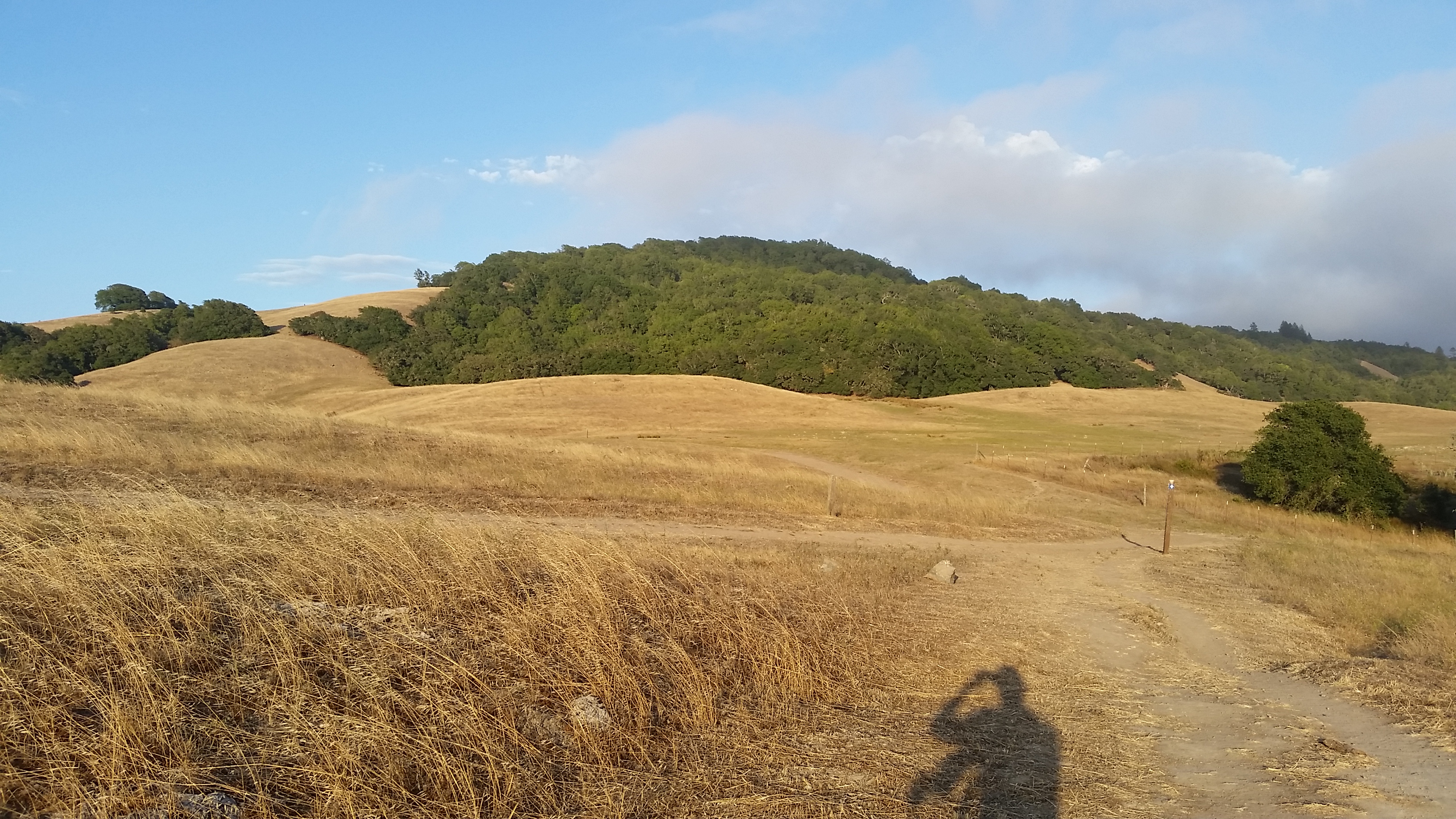
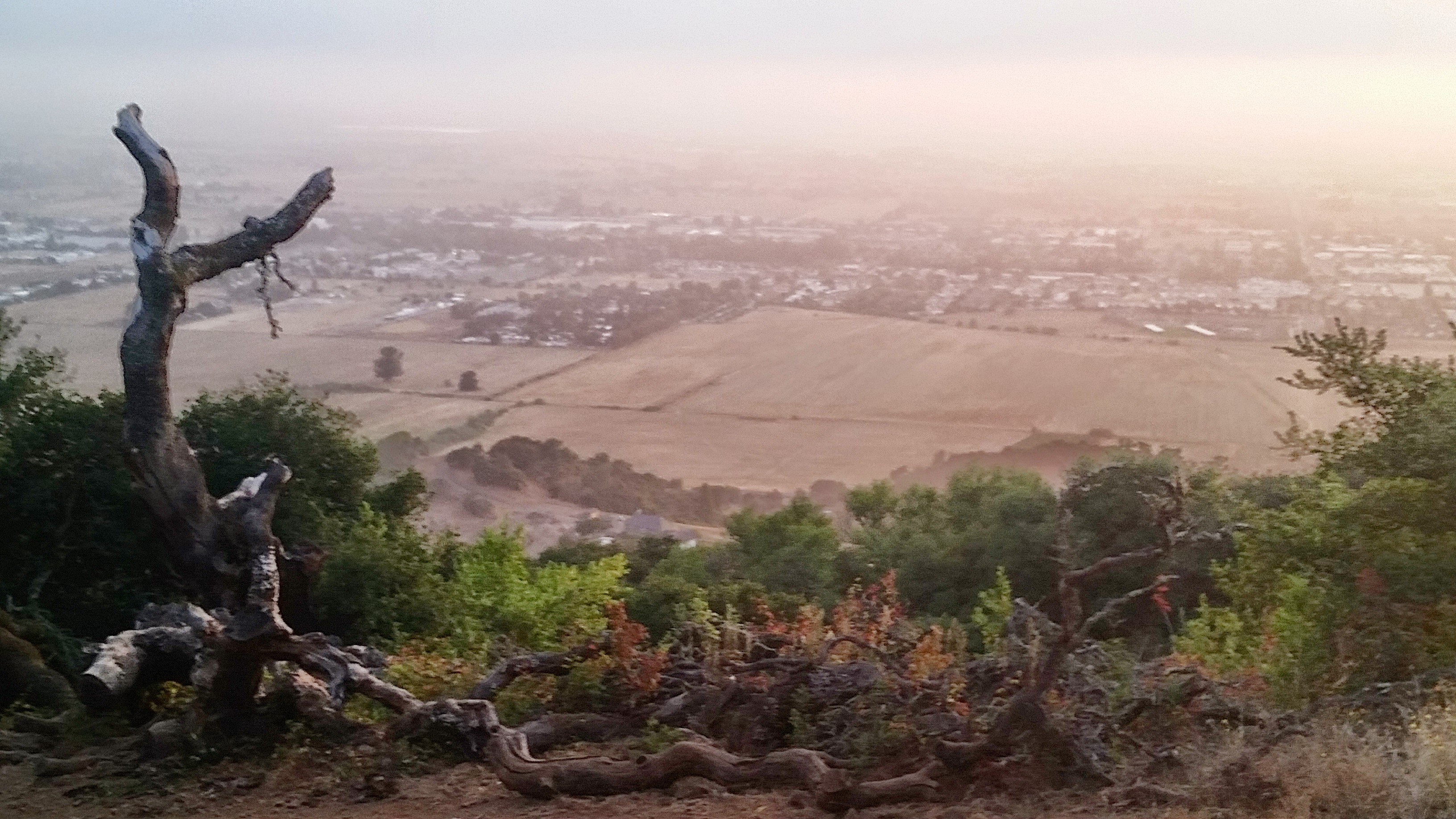
A view from the Western Route at Taylor Mountain Regional Park.

Modified trail markers were helpful.
A view of the climb up the Eastern Route
A look at Santa Rosa from the top of Taylor Mountain.
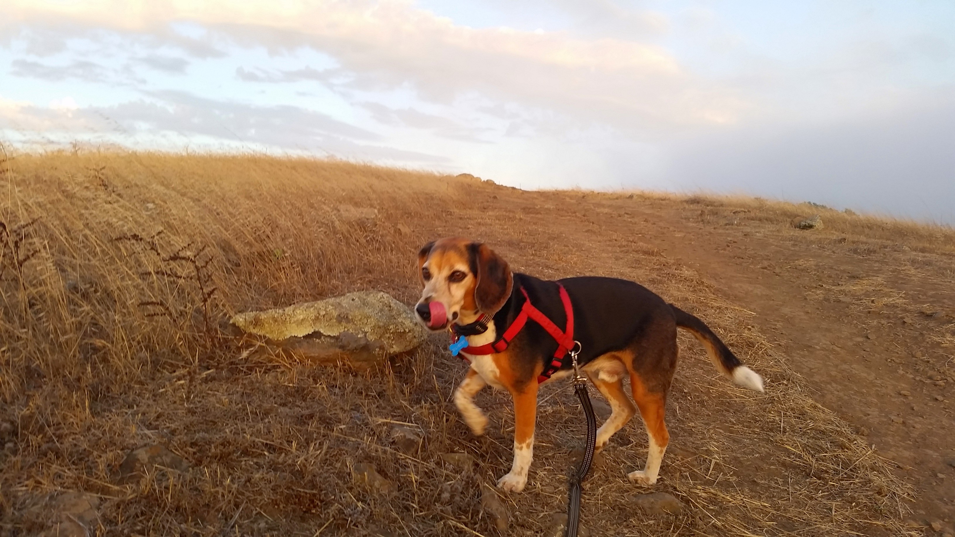
Sylvester hiking up the Eastern Route to the Summit.
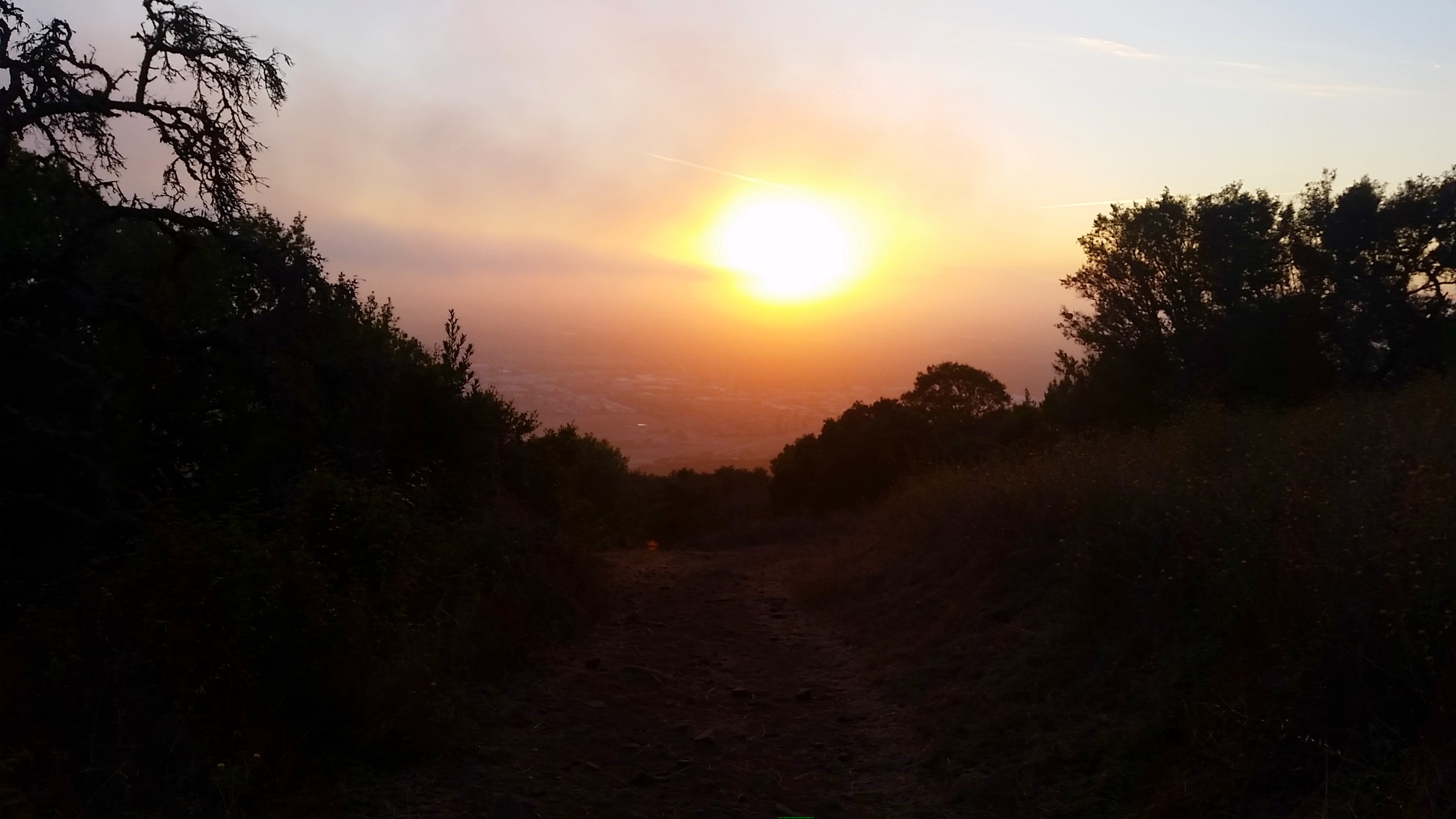
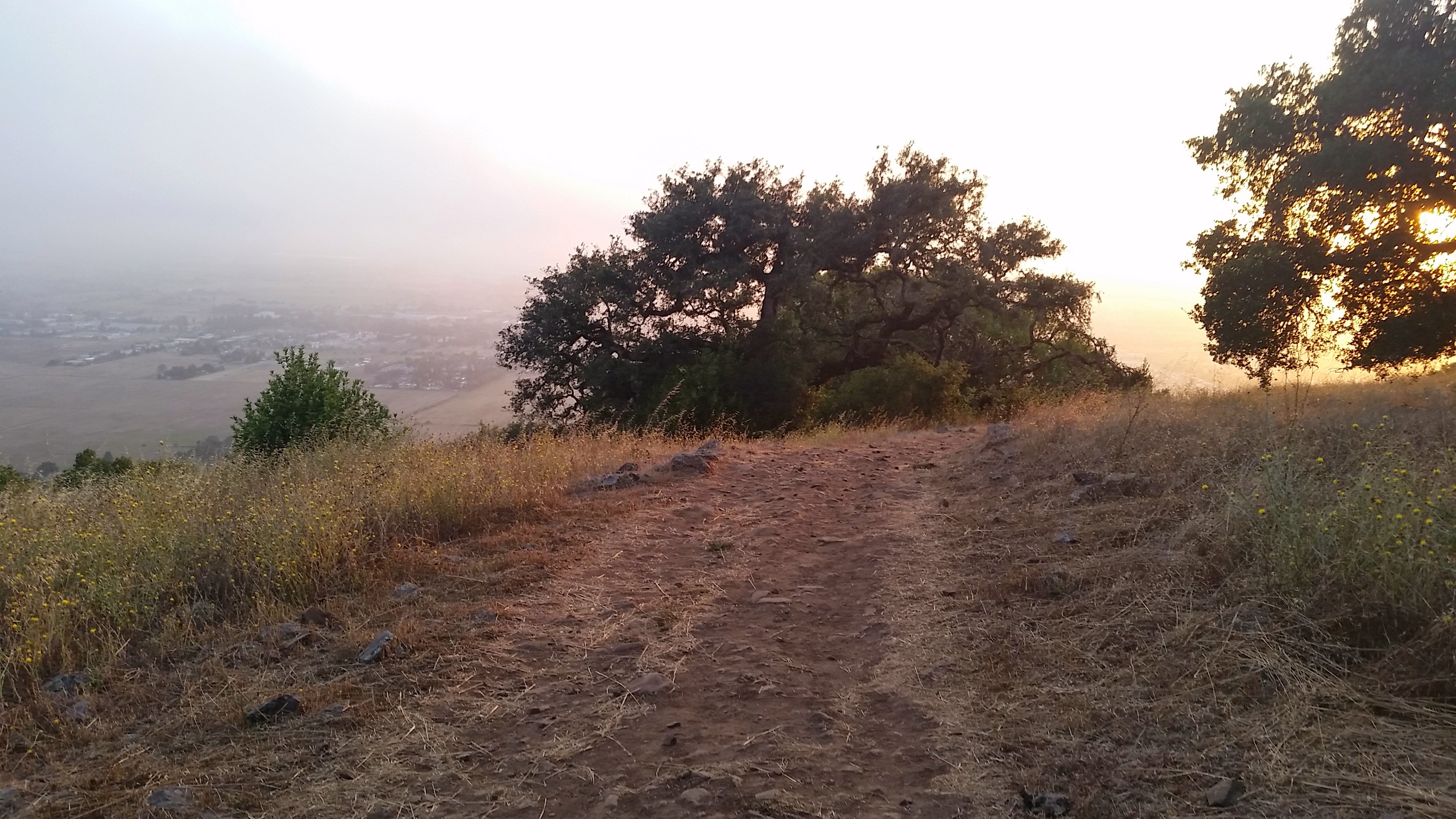
Sunset on Taylor Mountain.
A view from the descent down the Eastern Route on Taylor Mountain.
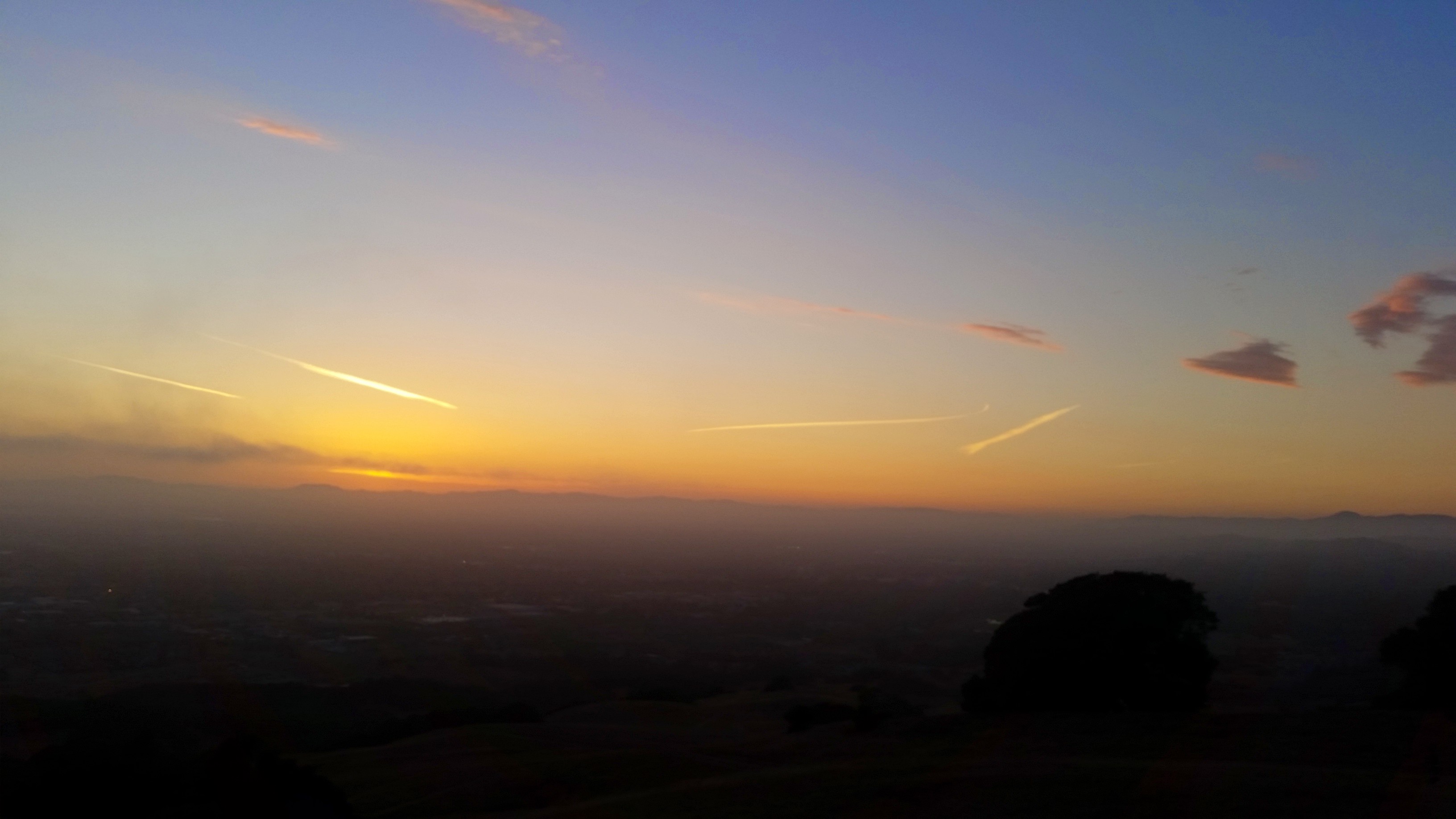
Sunset on Taylor Mountain
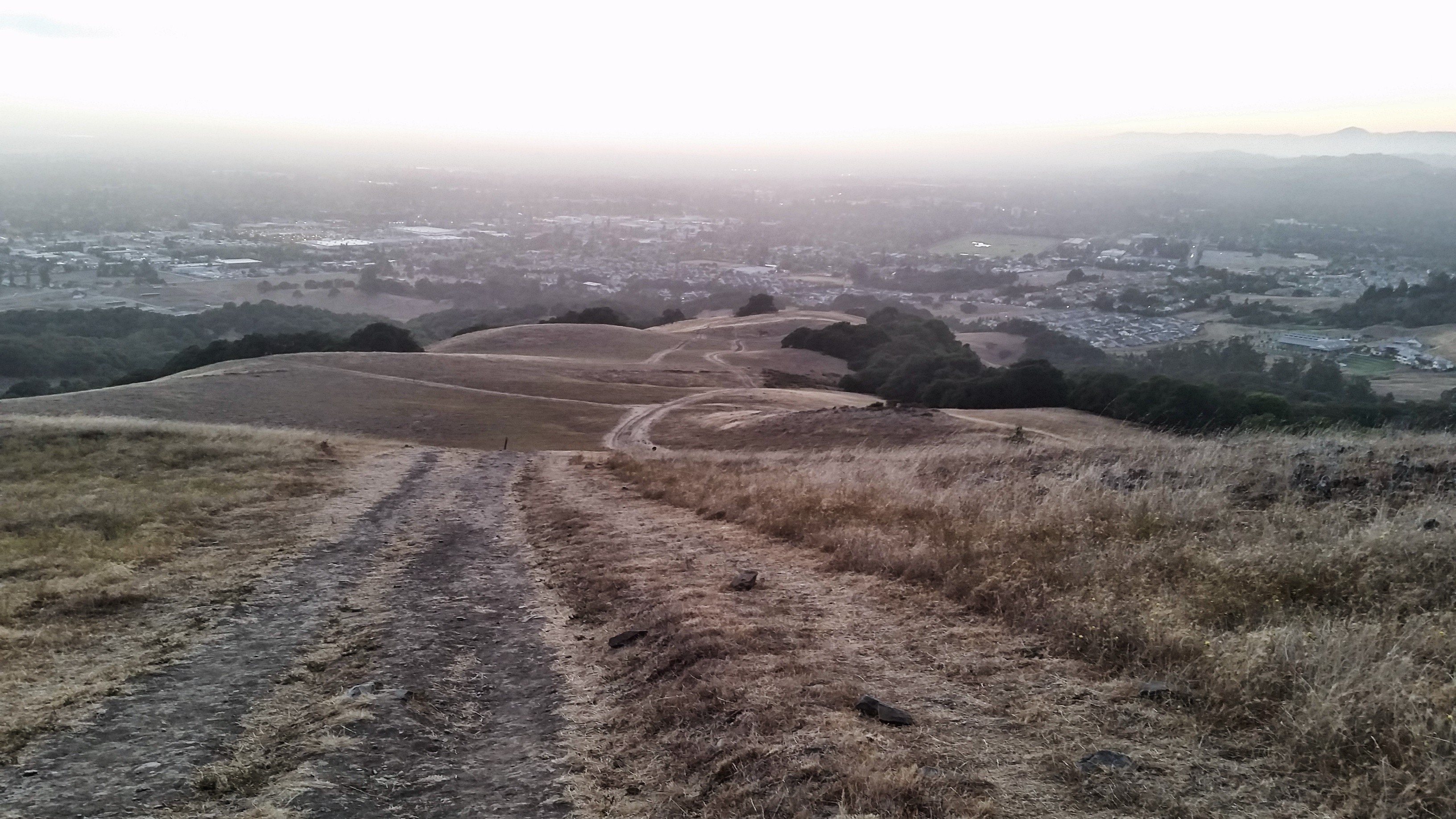
Descent down the Eastern Route.
 , New York native, I spent half of my life hibernating indoors, but for the past five years I have basked in the thrilling opportunity to enjoy year round hiking on the many trails of beautiful Northern California. In this blog I will continue in the tradition of trailhead, to recap the hikes I have taken and share the insights of my fellow hikers. Along with day hikes, I am also interested in dog friendly trails, and backpacking trips as well. Please feel free to offer suggestions of where I should hike next, or share tales of where you have explored. . Guest blog entries are extremely welcome as are your photos from your own hikes.