
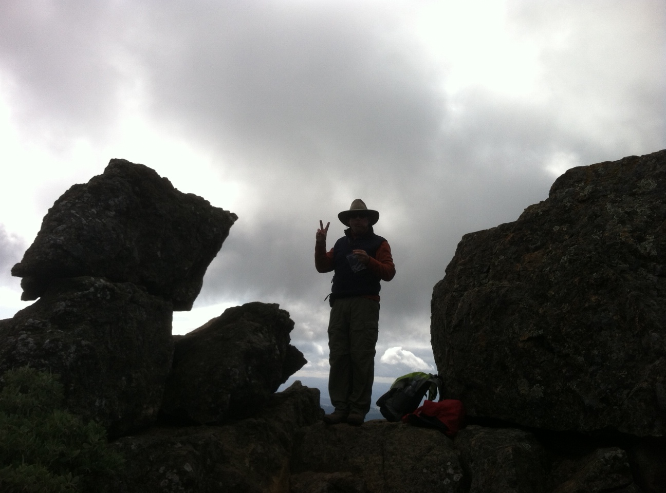
A fellow hiker atop Gunsight Rock
It’s been a busy few months for me (go figure!), so my regular http://cialisgeneric-treated.com/ rhapsodic schedule of long all-day hiking outings has been interrupted. But I’ve managed to do a bunch of short hikes recently, squeezing in a quickie here and there when time permits. Or even when it doesn’t. I hope you’ve been doing the same. The fall is an amazing time to get out and see the seasonal transformation of nature, and a cool morning quickly heats up with a rigorous hike.
Here’s where
http://mitchdixon.com/bxlwl/howard-stern-recomeded-dating-site
I’ve been lately:
Putnam Park. My GPS tried to take me to the small one in Cotati, but fortunately, I intervened and found my way to the 200-plus acre park on the west side of Petaluma, just a few minutes from downtown. I did about four miles of walking in a brief morning outing, covering nearly the entire park. Much of the park can be seen in a ridge trail that provides panoramic views of Petaluma and into Marin County. The highlight was an extreme vertical climb at the end that is exactly the kind of ‘suicide sprint’ hill that athletic coaches love to find cialis comprar for their teams. It is a short burst – maybe an eighth of a mile but it is straight up and exposed. It is directly behind the restrooms in the main parking lot, so if you’ve spent some time wandering around Putnam Park and want to go out with a blast, give it a try.
Bonus: The park, named after the former Petaluma mayor and county supervisor, includes 1.2 miles of the Bay Area Ridge Trail, which then continues eastward through the Victorian-lined streets of the city. I’ve been checking off bits of the BART for two years now, and I was surprisingly pleased to add another little tiny chunk to my ‘done’ list. More about the park here.
 Bald Mountain. Another stint on the BART, although also unintentional. According to Wikipedia, there are over 50 different Bald Mountain summits in California. Two of them are in Sugarloaf Ridge State Park. I climbed to the one that is about 2,700 feet up and is on the park’s nothern edge. It was a cloudy day so I couldn’t make out the Golden Gate Bridge as I’ve done in the past, but the nearer landmarks, including the rest of the Mayacamas, were definitely visible. The trail up to the summit is not technical, but requires attention, with several switchbacks levitra or viagra which is better and narrow spaces. Take a moment and savor the oaks and redwoods as you leave the meadow and head into the woodlands. It’s a great place to do a short family hike as you can turn back at several points and make it a shorter loop if needed. More about Sugarloaf Ridge SP here.
Gunsight Rock. Two months ago, I did a tortuous hike to Gunsight Rock near the Hood Mountain summit. I say tortuous not because it was the hardest hike ever, but because it is fairly grueling, it is an exposed hike, and I was dumb enough to do it in 90-degree weather, at the tail end of summer. I buy generic viagra went back last weekend on a perfect fall day, with temperatures 40 degrees cooler, and the foliage in bright display. What a difference a season makes. This was a case of starting off cool, warming up, and then cooling back down. Layer up, layer down, as they say. The hike, which is 3.5 miles upward, starting in Sugarloaf Ridge State Park and crossing over into Hood Mountain Regional Park, is still not an easy one. It requires plenty of water, good stamina for rock-climbing and navigating unsteady footing and some rest stops on the way.
P.S. Nice article by John Beck outlining lots of great hiking options along the buy levitra coast around here.
 , New York native, I spent half of my life hibernating indoors, but for the past five years I have basked in the thrilling opportunity to enjoy year round hiking on the many trails of beautiful Northern California. In this blog I will continue in the tradition of trailhead, to recap the hikes I have taken and share the insights of my fellow hikers. Along with day hikes, I am also interested in dog friendly trails, and backpacking trips as well. Please feel free to offer suggestions of where I should hike next, or share tales of where you have explored. . Guest blog entries are extremely welcome as are your photos from your own hikes.