
Just east of Oakland, the hills rise up over the East Bay and along those hills are a string of regional parks, many of which link up into something called the East Bay Skyline Trail. I have to admit that I had never heard of this trail, but that’s insignificant. I have heard of the Bay Area Ridge Trail, that 330-mile-plus large looping network of trails around the Bay Area that I’ve now hiked more than 100 miles of, and much of the loop is along this East Bay ridge.
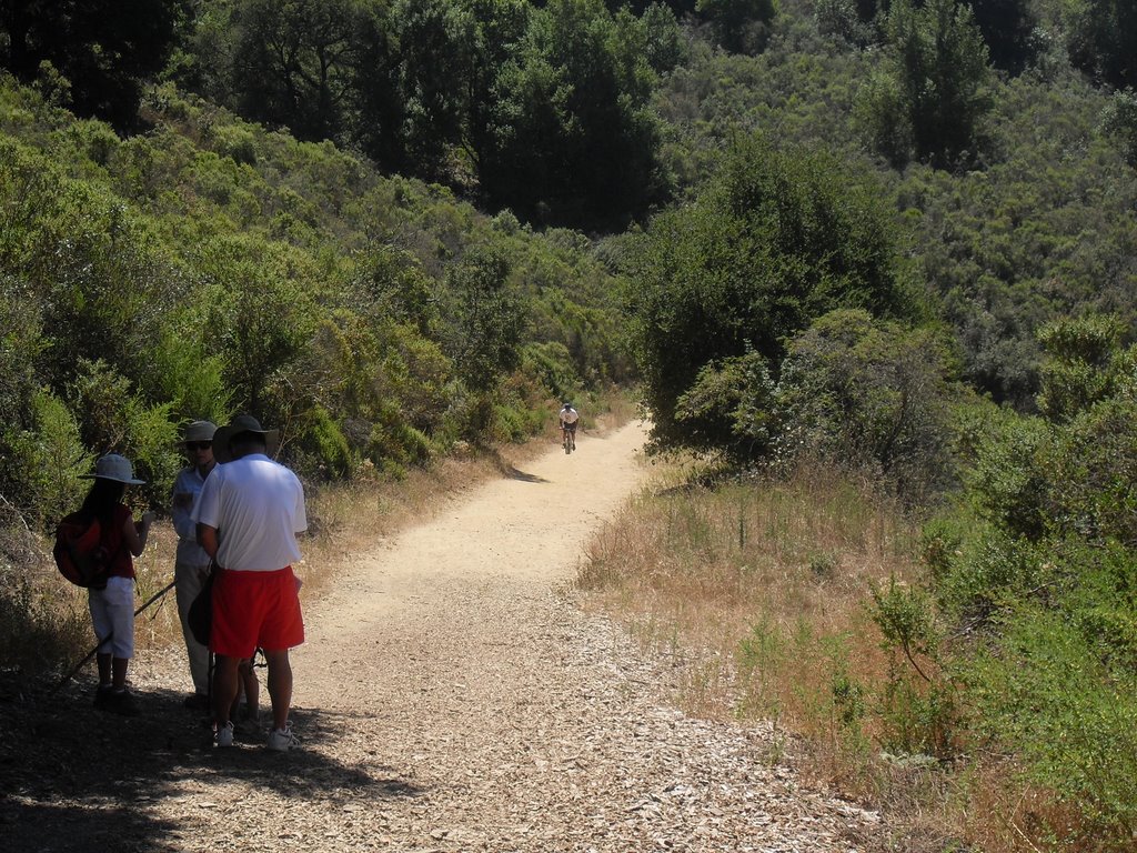
The start of our hike was the Skyline Boulevard parking area of Redwood Regional Park, an 1,800-acre treasure trove of coastal redwoods that separate Oakland from inland cities such as Moraga. There’s a large parking area with facilities, maps, and scenic views, and several paths to choose from. The official entrance gate to the park is on the other, or eastern, side on Redwood Road, where there is an entrance fee and a kiosk and more facilities. There is no charge at the Skyline staging site.
The most popular route is an 8.2 mile loop around the ridges encircling the park. Our group added a couple of spurs to that route to get about 10-11 miles of hiking in and a few small climbs, maybe totaling close to 1,000 feet at most. You can click on the trail map below for a close-up view of the possible paths.
The redwoods in this park are what are known as second-growth redwoods, planted about 150 years ago, after the area was extensively logged for development in the 18th and 19th centuries. So they aren’t quite as majestic as the larger northern ones, but still plenty to see. About half the ridge is exposed, while an equal amount of the trail is under forested canopies providing some welcome shade.
In general, this is a park where the views are part of the attraction. You can look down into the valley below or across to other area ridges that seem to be endless. In the bottom of the valley is Redwood Creek, the site of an active and ongoing restoration effort so hikers are urged to stay on the trails and help protect the creek from further erosion. According to East Bay Parks officials, the creek itself has a historical monument – it is considered to be the site where rainbow trout was first identified as a distinct species.
The park, which includes an archery range, campgrounds, plenty of picnic and group spots, horse trails and more, has a trail that goes by the Chabot Space and Science Center, so combining a hike with a center visit is easy.
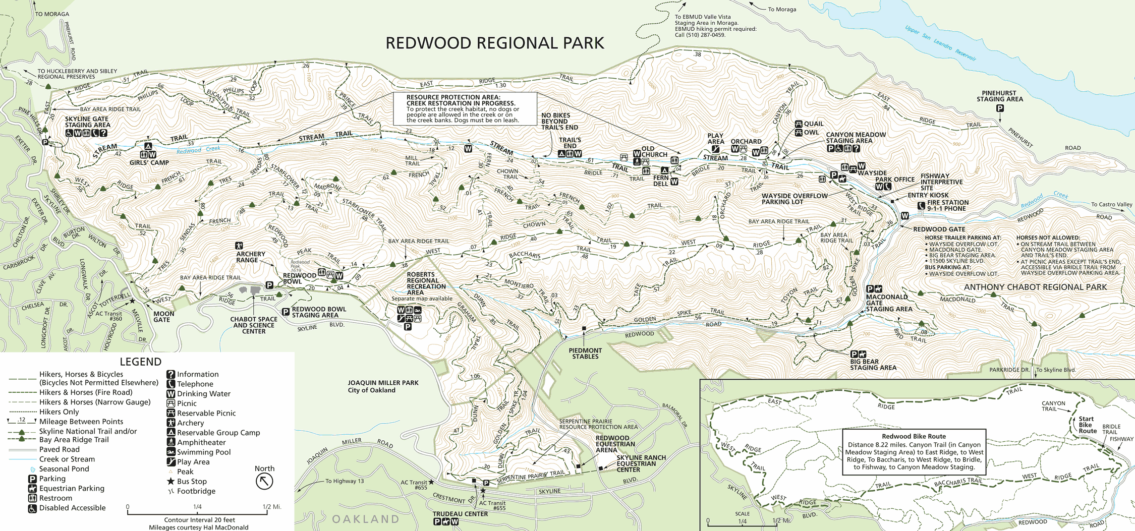
Click on the map to see an enlarged version.
[nggallery id=58]
 , New York native, I spent half of my life hibernating indoors, but for the past five years I have basked in the thrilling opportunity to enjoy year round hiking on the many trails of beautiful Northern California. In this blog I will continue in the tradition of trailhead, to recap the hikes I have taken and share the insights of my fellow hikers. Along with day hikes, I am also interested in dog friendly trails, and backpacking trips as well. Please feel free to offer suggestions of where I should hike next, or share tales of where you have explored. . Guest blog entries are extremely welcome as are your photos from your own hikes.